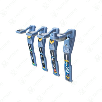
Survey-Grade Locating & Mapping
Survey-grade locating and mapping is a professional utility detection and documentation service that identifies subsurface infrastructure with submeter positional accuracy, generating detailed utility maps suitable for engineering design, project planning, and regulatory documentation. These comprehensive surveys provide the spatial precision and documentation required for complex infrastructure projects where utility conflicts could cause construction delays, safety incidents, or regulatory violations.
Detection methodologies combine electromagnetic field measurement identifying energized electrical cables and metallic pipes, ground penetrating radar detecting non-metallic utilities and structural anomalies, and GPS positioning providing spatial coordinates for all detected features. Multi-technology integration overcomes limitations of single-method detection, identifying utilities regardless of material composition or energization status. Operator expertise in interpreting complex signal patterns from overlapping utilities and distinguishing utility signals from natural soil anomalies determines survey accuracy and completeness.
Documentation deliverables include scaled utility maps showing precise location and depth of all detected utilities, CAD files compatible with engineering design software enabling direct utility layer integration into project designs, georeferenced imagery providing visual context for utility locations, and written reports summarizing survey methodology, detection confidence, and utility composition identification. Data formats accommodate integration with municipal utility records and GIS systems for comprehensive asset management coordination.
In Pakistan, engineering firms conduct survey-grade locating for infrastructure design projects. Utility companies use it for asset inventory and maintenance planning. Municipal governments employ it for utility coordination during major construction. Telecommunications providers map fiber optic networks for service planning.
Tactical Supply Pakistan provides survey-grade locating and mapping services for engineering, utility, and infrastructure project applications across Pakistan.
Showing the single result