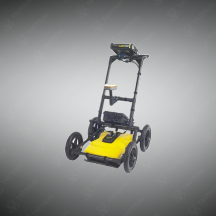
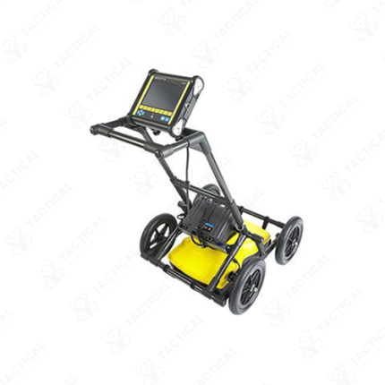
Single Antenna GPR
Single antenna ground-penetrating radar systems use one antenna element to transmit and receive radar pulses into the ground, producing a continuous cross-section profile of subsurface features as the operator moves the antenna along the survey line. These systems provide a cost-effective entry point into GPR survey capability for utility location, archaeological survey, road pavement assessment, and forensic ground investigation applications where the simplified single-channel hardware reduces equipment procurement cost compared to multi-channel array systems.
The antenna transmits a short electromagnetic pulse into the ground and switches to receive mode to capture the reflected signals returning from subsurface interfaces where material dielectric properties change, including soil layer boundaries, buried objects, voids, and utility pipes. Center frequency selection determines the trade-off between depth penetration and spatial resolution, with low-frequency 250 MHz antennas penetrating up to 5 meters in dry sandy soil while resolving features above 150mm in size, and high-frequency 1 GHz antennas limiting penetration to 0.5 to 1 meter in typical soil while resolving features above 30mm. Additionally, time window settings on the control unit define the maximum two-way travel time recorded per trace, directly determining the maximum investigation depth for the selected antenna frequency and estimated soil velocity conditions at the survey site.
Data collection uses a survey wheel encoder attached to the antenna to record position at defined distance intervals along the survey line, typically between 10mm and 50mm per trace, building a radargram of the subsurface profile beneath the antenna path as the operator walks at normal walking pace. Furthermore, real-time display on the connected tablet or control unit shows the developing radargram during the survey walk, allowing the operator to identify anomalies and adjust survey line spacing on the fly based on subsurface feature complexity observed in real time.
Post-processing software applies time-zero correction, background removal, gain adjustment, and migration algorithms to the collected radargram data, improving feature definition and converting two-way travel time to depth using soil velocity calibration from known depth targets or soil sample dielectric measurements. Moreover, GPR data export formats include standard .dt1, .dzt, and .sgr file formats compatible with leading GPR processing and interpretation software packages used across utility survey and geotechnical investigation workflows.
Tactical Supply Pakistan supplies single antenna GPR systems to utility survey contractors, forensic investigation teams, road pavement assessment engineers, and military engineering units requiring subsurface investigation capability across utility location, forensic search, and geotechnical survey applications throughout Pakistan.
Showing the single result