


Ground Penetrating Radar
Advanced GPR systems for detecting and mapping underground utilities, structures, and voids with high-resolution imaging, data capture, and georeferenced mapping capabilities.
Key Features:
✔️ Detects metallic and non-metallic underground utilities, voids, and structures
✔️ Ultra-wideband (UWB) antennas for detailed subsurface imaging
✔️ Multiple scan modes: Line Scan, Grid Scan for flexible data capture
✔️ Built-in Wi-Fi, USB, and external GPS/GNSS for field reporting and geo-referenced mapping
✔️ Lightweight, rugged fiberglass cart or sled designs for easy field deployment
✔️ Interchangeable antennas (100 MHz–1000 MHz) for adjustable depth and resolution
✔️ Real-time data visualization and depth slicing for immediate interpretation
✔️ Exportable data compatible with GPR processing software for advanced analysis
Ground Penetrating Radar
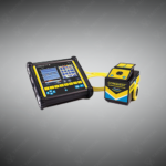
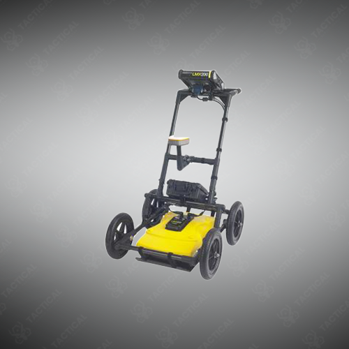
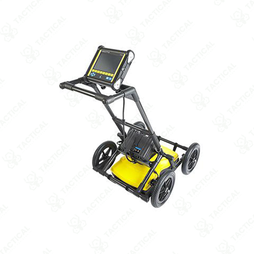
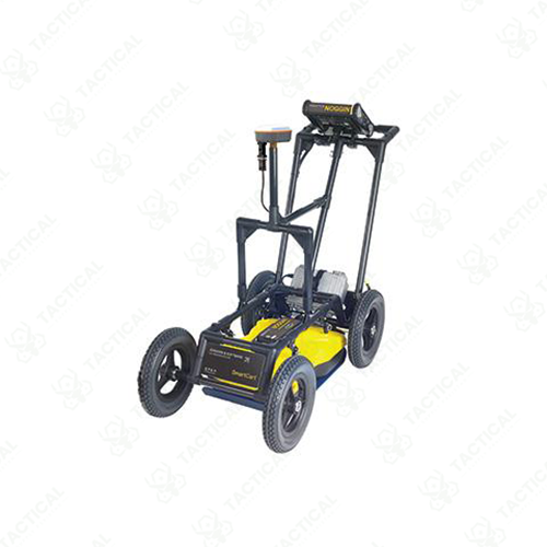
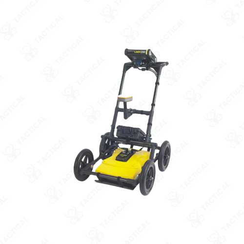
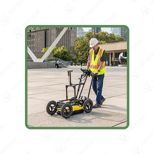
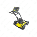
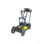
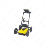
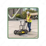
Ground Penetrating Radar transmits electromagnetic pulses into subsurface materials and records reflected signals to generate cross-sectional images of underground conditions. These systems operate across frequency ranges from 100 MHz to 1000 MHz, with lower frequencies providing deeper penetration and higher frequencies delivering finer resolution for shallow targets. The antenna assembly mounts on wheeled carts or tow-behind sleds, containing transmitter circuits, receiver arrays, and digital processing units. Data displays on integrated touchscreens showing real-time depth profiles as operators traverse survey areas.
The LMX200 model features Grid Scan and MapView modes that compile multiple passes into three-dimensional subsurface maps with optional external GPS coordinates. The LMX150 incorporates ultra-wideband antenna technology for improved target discrimination in congested utility corridors. The LMX100 provides standard line scanning with swappable lead-acid batteries supporting full-day operations. NOGGIN systems offer interchangeable antenna frequencies, allowing operators to configure depth-versus-resolution tradeoffs based on specific site requirements.
Civil engineering firms use Ground Penetrating Radar to verify subsurface conditions before foundation design and construction activities commence. Military explosive ordnance disposal teams scan training ranges to detect buried munitions and metallic debris before remediation operations. Navy construction battalions image rebar patterns in concrete aprons and pier structures during renovation planning phases. Airforce pavement engineers scan runway subsurface layers to identify voids, moisture intrusion, and structural deterioration before resurfacing projects.
Tactical Supply Pakistan delivers subsurface imaging systems that reveal both metallic and non-metallic buried features invisible to electromagnetic locators alone. The company supports infrastructure professionals requiring comprehensive underground visualization capability.
Can GPR differentiate between utility types based on radar signatures?
GPR identifies objects by size, shape, and material density but cannot determine utility function; interpretation requires operator experience to distinguish pipes from cables based on diameter and burial patterns.
- Fast Shipping: We partner with reliable delivery services to make sure your order gets to you quickly. We work hard to ensure every package arrives safely and on time.
- Quick Processing: Your order is processed and prepared for shipping within 24 to 48 hours. This allows us to send it out to you as fast as possible after your payment is confirmed.
- Tracking: Once your order is on its way, we will provide you with a tracking number. You can use this number to easily follow your package's journey and know exactly when it will arrive.
- Nationwide Delivery: We offer delivery to all locations across Pakistan, including major cities and remote areas. No matter where you are, we can get your order to you.
At Tactical Supply Pakistan, our relationship with you doesn't end after a sale. We are dedicated to making the long-term performance and reliability of our high-quality tactical and supplied equipment. Our commitment is to provide you with seamless support and peace of mind.
- Free Installation: We'll set up your new equipment for you, so it's ready to go. You can focus on your work while our engineers handle as per the guidelines for manufacturer.
- Maintenance: We offer quick replacements where necessary, to keep your gear in top condition. Our team will make sure your equipment is always ready when you need it.
- Customer Support: We're always here to help. Our support team is available to answer your questions and assist you long after you've made a purchase.
- Planned Preventative Maintenance: Our service includes preventative maintenance to keep your equipment in peak condition and prevent future issues.
HAVE QUESTIONS?
Fill out the form, and our team will respond promptly to assist with your product inquiries or order support.


