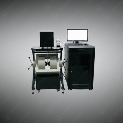
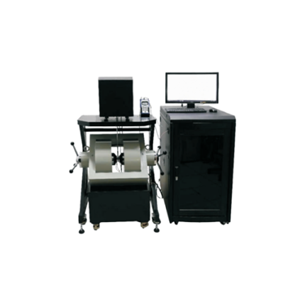
Magnetometry
Magnetometry is the science and practice of measuring spatial variations in the Earth’s magnetic field to detect, locate, and characterize subsurface and surface features that produce detectable magnetic anomalies. These anomalies arise from buried metallic objects, ferromagnetic geological formations, archaeological features, and man-made infrastructure — making magnetometry one of the most widely used non-invasive investigation methods across UXO clearance, mineral exploration, oil and gas geology, archaeological site assessment, and pipeline location.
The measurement principle relies on the contrast between the magnetic susceptibility of target materials and the surrounding host material. Ferrous metals produce strong positive anomalies detectable at depths of several meters from surface sensors. Archaeological fired clay features, iron objects, and hearths produce anomalies of 5 to 50 nT detectable at depths to 1.5 meters using fluxgate gradiometers at 0.3 nT RMS sensitivity. Furthermore, geological magnetometry targets contrasts between rock types — mafic and ultramafic rocks carrying high magnetite content produce anomalies of hundreds to thousands of nT at depths of tens to hundreds of meters detectable from airborne platforms flying at 60 to 120 meters above ground.
Data processing workflows convert raw field measurements into gridded anomaly maps, analytic signal images, vertical derivative maps, and 3D inversion models — guiding excavation priorities in UXO clearance, drill target selection in mineral exploration, and feature mapping in archaeological investigations.
These methods and instruments serve Pakistan Army EOD UXO clearance operations in KPK and FATA, mineral exploration contractors in Balochistan and Gilgit-Baltistan, Survey of Pakistan aeromagnetic programs, archaeological survey teams at Mohenjo-daro, Harappa, and Taxila, and oil and gas geological survey contractors in Sindh and Balochistan.
Tactical Supply Pakistan supplies magnetometry instruments, survey systems, and data processing software for UXO clearance, mineral exploration, geological survey, and archaeological investigation procurement across Pakistan.
Showing the single result