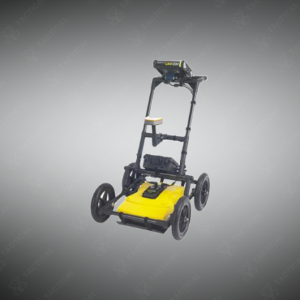
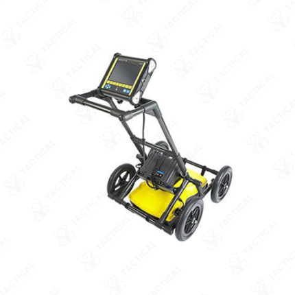
Best Ground Penetrating Radar
A best ground penetrating radar (GPR) system is a non-destructive subsurface imaging platform that transmits electromagnetic pulses into earth or structures, analysing return reflections to map buried utilities, geological layers, archaeological features, and subsurface voids without requiring excavation or borehole drilling. The GPR approach enables rapid large-area surveys providing spatial resolution superior to manual probing or point-based sampling techniques.
Premium GPR systems employ frequency-modulated continuous wave (FMCW) or pulsed radar architecture operating across centre frequencies between 400 MHz and 2.6 GHz depending on depth penetration requirements versus spatial resolution trade-off. Lower frequencies (400–900 MHz) penetrate to depths of 1–3 metres suitable for utility location and geology mapping, while higher frequencies (1–2.6 GHz) provide centimetre-scale resolution across shallow targets within 300–500mm depth.
Antenna configurations range from single-channel systems for linear transect surveys, to multi-channel arrays enabling three-dimensional volume reconstruction from single passes. Real-time data processing displays B-scan (cross-section) imagery as the antenna traverses the surface, with colour intensity representing reflection amplitude indicating material transitions and subsurface objects.
Interpretation software enables semi-automated object detection identifying utility pipes, rebar reinforcement, and geological boundaries through characteristic reflection patterns. Three-dimensional volume visualisation from overlapping parallel scans enables mapping complex utility routing, archaeological site stratigraphy, or structural integrity assessment of concrete and masonry.
Environmental limitations include reduced penetration in high-conductivity soil (clay, saltwater-saturated sand) where electromagnetic absorption limits effective depth to tens of centimetres. Wet soil conditions improve penetration compared to dry desert sand through reduced signal scattering.
In Pakistan, best ground penetrating radar systems support utility mapping for construction safety, archaeological site surveying, and military facility subsurface assessment across varied terrain.
Tactical Supply Pakistan supplies best-in-class GPR systems for construction, archaeological, and infrastructure assessment applications.
Showing the single result