GPR
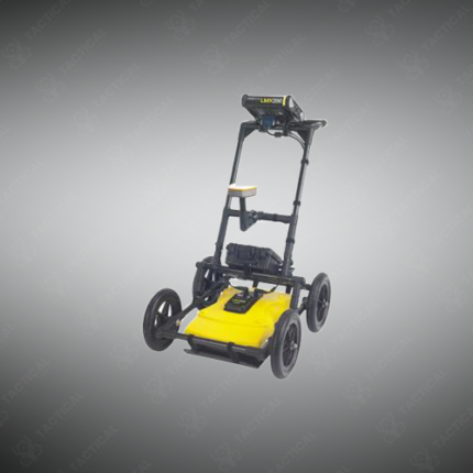
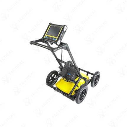
Ground-penetrating radar (GPR) is a non-destructive geophysical and structural investigation method that uses pulsed high-frequency electromagnetic signals to detect and image objects, voids, layers, and anomalies beneath the surface of concrete, soil, asphalt, rock, and other materials. The GPR antenna transmits radar pulses downward into the target medium, and the receiver records the reflected signals returned when the pulse encounters boundaries between materials with differing dielectric properties. The time delay between transmission and reception of each reflected pulse is used to calculate the depth of the reflecting interface, while signal amplitude and waveform characteristics indicate the nature of the material boundary.
Operating frequencies across GPR antenna types range from 16 MHz for deep geological surveys reaching tens of meters to 2.6 GHz for high-resolution shallow scanning of concrete slabs and asphalt layers at depths of 0 to 600mm. Lower frequencies provide greater depth penetration with reduced resolution, while higher frequencies deliver detailed near-surface imaging at shallower depths. Data is displayed as a two-dimensional radargram cross-section showing subsurface reflectors as hyperbolic signatures that trained operators interpret to identify buried targets.
In Pakistan, GPR is applied across concrete scanning for rebar and conduit location before drilling, road and pavement layer thickness assessment, utility mapping beneath urban streets, archaeological site investigation, forensic search operations, and military engineering surveys for subsurface threat detection. The non-contact and non-destructive nature of GPR makes it the preferred subsurface investigation method where surface integrity must be preserved.
Tactical Supply Pakistan supplies GPR systems and antennas across frequency ranges for construction, infrastructure, security, and geophysical survey applications throughout Pakistan.
Showing the single result