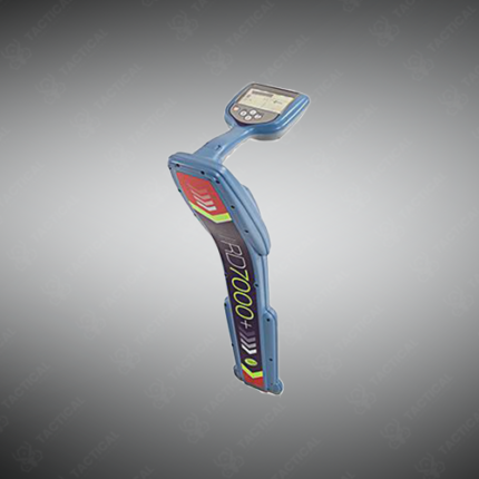
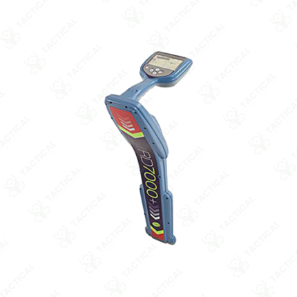
Top-Tier Locating Equipment
Top-tier locating equipment represents the highest performance category of electromagnetic, ground-penetrating radar, and multi-technology instruments used for detecting and mapping buried utilities, underground structures, and subsurface anomalies. Utility survey contractors, military engineering units, civil infrastructure managers, and pipeline integrity teams across Pakistan use top-tier locating equipment to achieve the accuracy, depth range, and signal discrimination that standard entry-level locators cannot deliver on complex, congested, or deep utility survey sites.
Top-tier electromagnetic locators use multi-frequency transmission covering active frequencies from 50 Hz through 200 kHz simultaneously, applying different frequencies to the same conductor and comparing signal responses to improve depth accuracy and reduce interference from adjacent parallel utilities. Depth accuracy on premium electromagnetic locators runs within plus or minus 5% of actual burial depth on isolated conductors, compared to plus or minus 15% on basic single-frequency instruments. Signal discrimination algorithms separate target conductor responses from background interference at congested utility corridors beneath Pakistan’s older city road networks in Karachi, Lahore, and Rawalpindi. Additionally, GPS data logging on top-tier locator receivers captures coordinate and depth readings at defined survey intervals, producing post-survey utility mapping datasets compatible with GIS asset management platforms used by municipal engineering departments.
Top-tier ground-penetrating radar systems use multi-channel antenna arrays with simultaneous transmission across multiple frequency bands. This delivers both deep penetration for locating mains infrastructure and high resolution for detecting shallow service connections in a single survey pass without antenna changes. Antenna frequencies cover 250 MHz through 2.6 GHz across multi-channel array configurations. Furthermore, real-time 3D data visualization on connected field tablets displays subsurface utility positions as three-dimensional models during the survey walk, allowing the operator to identify utility crossings and depth changes immediately rather than waiting for office post-processing after the survey.
Combined electromagnetic and GPR locator platforms integrate both technologies into a single survey instrument. Operators detect metallic and non-metallic utilities simultaneously without carrying separate instruments across the survey site. Moreover, cloud-based data management platforms on top-tier equipment systems upload survey data automatically after each session, sharing utility maps with project teams and asset management departments without manual data transfer steps between field and office environments.
Tactical Supply Pakistan supplies top-tier locating equipment to utility survey contractors, municipal engineering departments, pipeline integrity inspection teams, and military engineering formations requiring the highest available performance in underground utility detection and mapping capability across complex infrastructure survey applications throughout Pakistan.
Showing the single result