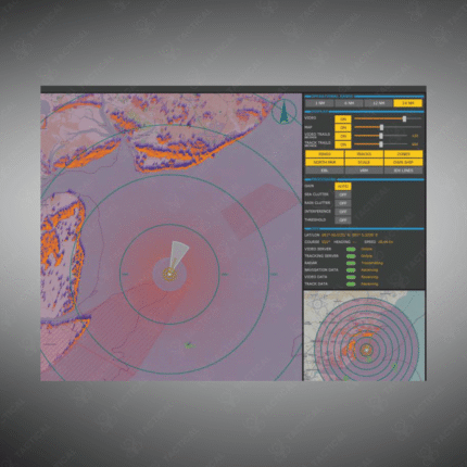
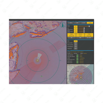
Radar Image Based Positioning for Unmanned Surface Vessel
Radar Image Based Positioning for Unmanned Surface Vessels is an advanced navigation solution designed to provide precise location tracking and situational awareness on water surfaces. Utilizing radar imaging, it enables USVs to navigate safely, avoid obstacles, and maintain accurate positioning even in GPS-denied environments. Ideal for maritime surveillance, research, and tactical missions, this system combines reliability, efficiency, and cutting-edge radar technology for optimal vessel control.
Key Features:
– High-precision positioning using real-time radar image analysis.
– Reliable navigation in GPS-denied or challenging maritime environments.
– Obstacle detection and avoidance for safe vessel operations.
– Compatible with multiple unmanned surface vessel platforms.
– Robust, weather-resistant design for harsh marine conditions.
– Enhances autonomous control and mission planning accuracy.
Delivering unmatched maritime navigation support, Radar Image Based Positioning for Unmanned Surface Vessel from Tactical Supply Pakistan ensures safe, efficient, and precise USV operations.
Showing the single result