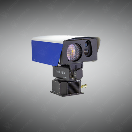
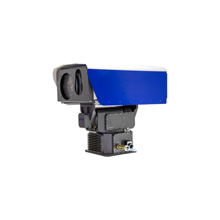
Passive FTIR Scanning Remote-Sensing Imaging System
Passive FTIR scanning remote-sensing imaging systems extend single-point standoff chemical detection into two-dimensional spatial mapping, producing georeferenced chemical concentration images across a wide scene rather than delivering a single-point measurement from a fixed line of sight. This imaging capability allows operators to visualize the shape, extent, and drift direction of a chemical plume in real time, supporting faster and more informed decisions during chemical incident response, perimeter defense activation, and industrial leak source identification.
The imaging architecture combines a Fourier transform infrared spectrometer with a scanning mechanism that steps the instrument field of view across a defined angular sector, collecting a full infrared spectrum at each spatial position during the scan sequence. Scanning mirrors or rotating prism assemblies drive the angular step movement, covering sector widths between 60 and 180 degrees horizontally with vertical tilt adjustment for terrain-following scan geometry. Additionally, spectral resolution across imaging system configurations runs between 0.5 and 4 wavenumbers per centimeter, with cooled mercury cadmium telluride focal plane arrays providing the detector sensitivity needed to resolve low-concentration chemical signatures against ambient thermal background variation across the imaged scene.
Detection sensitivity for chemical warfare agents and toxic industrial chemicals reaches sub-parts-per-million column density levels at ranges extending from 500 meters to beyond 5 kilometers depending on atmospheric thermal contrast conditions, target compound infrared absorption cross-section, and wind dispersion at the time of imaging. Furthermore, onboard spectral processing applies automated compound identification algorithms against reference libraries covering chemical warfare agents, explosives precursor vapors, and hazardous industrial chemicals, generating color-coded concentration overlay maps on the operator display within seconds of scan completion.
System outputs include real-time false-color chemical concentration imagery, compound identification reports with estimated column density values, georeferenced plume mapping files compatible with GIS platforms, and raw interferogram archives for post-incident forensic spectral reanalysis. Moreover, platform integration options cover fixed pedestal installations for site perimeter monitoring, vehicle roof mount assemblies for mobile response deployment, and UAV-compatible sensor pods for airborne area survey operations.
Tactical Supply Pakistan supplies passive FTIR scanning remote-sensing imaging systems to national chemical defense agencies, industrial hazmat response teams, border security formations, and critical infrastructure protection units requiring wide-area chemical plume imaging capability across Pakistan’s strategic, industrial, and border zones.
Showing the single result