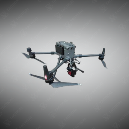
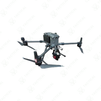
Hyperspectral Camera and Drone
A hyperspectral camera and drone system combines a UAV aerial platform with a hyperspectral imaging payload to conduct airborne spectral surveys that capture material identification data across large ground areas at spatial and spectral resolutions unachievable by satellite or standard photographic aerial imaging. The drone provides the positioning, altitude control, and georeferenced flight path required for systematic area coverage, while the hyperspectral camera captures continuous spectral reflectance data across hundreds of narrow wavelength bands for every ground pixel imaged during the survey flight.
UAV platforms selected for hyperspectral payload integration require sufficient payload capacity, flight endurance, and vibration isolation to support the camera weight and ensure stable imaging during data collection. Fixed-wing UAVs covering payload capacities of 500 grams to 3 kilograms provide extended survey endurance of 45 to 90 minutes per flight, covering ground areas of 50 to 500 hectares per sortie at typical survey altitudes.
In Pakistan, hyperspectral camera and drone systems are deployed for precision agricultural surveys across Punjab and Sindh croplands, mineral exploration mapping in Balochistan and northern territories, pipeline and infrastructure corridor environmental monitoring, and military terrain and material discrimination applications requiring spectral identification data from aerial platforms.
Tactical Supply Pakistan supplies integrated hyperspectral camera and drone systems for agricultural survey, mineral exploration, environmental monitoring, and defense reconnaissance applications across Pakistan.
Showing the single result