Drone-Based Magnetometry
Drone-Based Magnetometry is a geophysical survey method that mounts calibrated magnetic field sensors on unmanned aerial vehicle platforms to measure spatial variations in the Earth’s magnetic field across a target area from low-altitude airborne positions. The technique combines the spatial coverage and flight repeatability of UAV platforms with the high sensitivity of modern magnetometer sensors to produce detailed subsurface anomaly maps used in mineral exploration, unexploded ordnance (UXO) detection, archaeological prospection, pipeline mapping, and geological structural analysis.
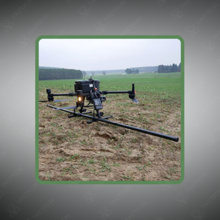
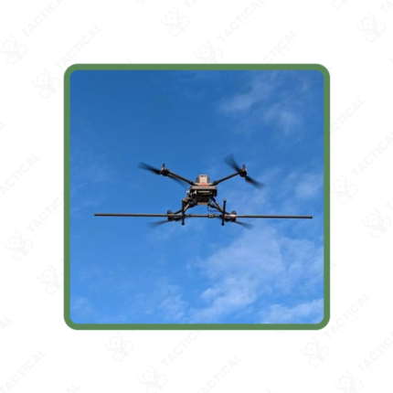
The magnetometer payload — fluxgate, cesium vapor, potassium vapor, or optically pumped (OPM) depending on sensitivity requirements — is mounted on a boom or suspended below the UAV airframe on a tether extending 0.5 to 3 meters from the platform body, physically separating the sensor from magnetic interference generated by the drone’s motors, battery packs, and electronic components. Sensor sensitivity ranges from 0.1 nanotesla (nT) for fluxgate instruments to below 0.001 nT per root hertz for vapor magnetometers, capturing subtle field variations associated with deeply buried or weakly magnetized targets.
Survey flight parameters are defined by target depth and expected anomaly dimensions. Line spacing between adjacent flight paths ranges from 5 meters for high-resolution shallow UXO surveys to 100 meters for regional geological reconnaissance, with flight altitude maintained between 10 and 120 meters above ground using barometric and terrain-following controls. GPS-synchronized data logging records magnetic field readings against precise geographic coordinates at sampling rates between 100Hz and 1,000Hz.
Post-flight data processing applies diurnal variation corrections, heading error removal, and leveling adjustments before gridding into total magnetic intensity (TMI) maps, vertical gradient displays, and reduced-to-pole (RTP) derivatives for anomaly interpretation and target prioritization.
In Pakistan, drone-based magnetometry supports mineral exploration across Balochistan and Khyber Pakhtunkhwa, UXO survey operations, buried utility and pipeline detection, and university geophysics research programs.
Tactical Supply Pakistan supplies drone-based magnetometry systems including UAV platforms, sensor payloads, and data acquisition hardware for geological, defense, and survey procurement nationwide.
Showing the single result