Best Drone Based Magnetometer Survey Systems
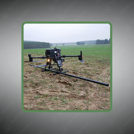
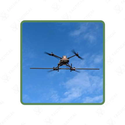
A best drone-based magnetometer survey system is an airborne geophysical sensing platform that detects subsurface metallic objects, geological structures, and mineral deposits through measurement of magnetic field distortions caused by ferrous materials and magnetised rock layers. The system combines a precision magnetometer sensor mounted on an unmanned aerial vehicle with onboard GPS/GNSS positioning and data logging, enabling rapid geophysical surveys across large areas without requirement for ground-based measurement point installation or manual field surveys.
The magnetometer payload typically employs optically-pumped cesium or proton precession sensors achieving magnetic field sensitivity of 0.1–1 nanoTesla (nT), sufficient to detect buried metal objects as small as unexploded ordnance (UXO) at depths of several metres, or to map geological fault lines and subsurface rock formations through magnetic susceptibility variations. The sensor operates continuously during UAV flight, recording magnetometer readings at sample rates between 10 Hz and 100 Hz with integrated GPS timestamps enabling spatial correlation of measurements to specific geographic coordinates.
Survey planning software defines UAV flight paths optimising coverage of target areas — typically parallel transect lines spaced 10–50 metres apart depending on detection sensitivity requirements and target object size. Real-time data processing during flight enables operators to identify high-priority magnetic anomalies and trigger focused follow-up surveys over detected features.
Post-flight data processing applies magnetic field correction algorithms accounting for diurnal variation in Earth’s magnetic field and vehicle-induced magnetic disturbance, producing corrected anomaly maps with spatial resolution typically 5–20 metres depending on flight altitude and sensor sensitivity.
In Pakistan, best drone-based magnetometer survey systems support military UXO clearance operations in conflict-affected regions, mineral exploration across Balochistan mining areas, and archaeological subsurface feature mapping.
Tactical Supply Pakistan supplies drone-integrated magnetometer survey systems for geophysical and clearance operations.
Showing the single result