Utility Mapper
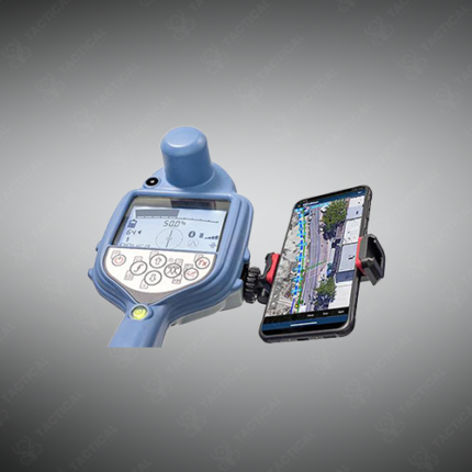
A utility mapper is a specialized software platform and associated hardware system that systematically documents subsurface utility locations, depths, and routes enabling comprehensive underground infrastructure asset management. These integrated systems consolidate data from field surveys into detailed utility maps supporting safe excavation planning, facility development coordination, and long-term infrastructure maintenance.
System components include field measurement instruments detecting utilities, GPS receivers documenting spatial coordinates, data collection devices recording survey results, and centralized software platforms processing measurements into utility maps. Quality assurance procedures verify measurement accuracy and consistency across multiple survey events.
Mapping software overlays detected utility locations on aerial photography, street-level imagery, and topographic maps providing geographic context for infrastructure understanding. Color-coded displays distinguish different utility types enabling rapid visual comprehension. Three-dimensional visualization reveals vertical relationships between utilities at different depths. Conflict detection identifies utility proximity violations and potential interference risks.
Data management systems maintain historical records of utility locations supporting change tracking across time. Version control preserves past utility configurations enabling comparison with current infrastructure. Archive storage protects utility maps against loss or unauthorized modification.
GIS integration enables seamless data transfer to facility management systems and engineering design software. Mobile applications enable field personnel to access utility maps during excavation activities. Real-time alerting notifies personnel of nearby utilities during active construction.
In Pakistan, water utilities use mappers managing distribution network assets. Telecommunications companies document conduit infrastructure routing. Gas utilities maintain pipeline network maps for safety compliance. Municipal governments coordinate utility information supporting development planning.
Tactical Supply Pakistan supplies utility mapper systems for water, telecommunications, gas, and municipal infrastructure management across Pakistan.
Showing the single result