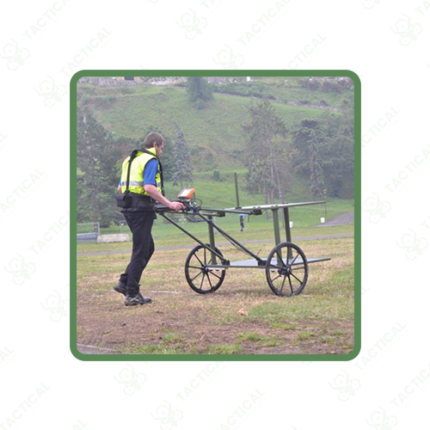
Time-Domain/Transient Electromagnetics (TDEM/TEM)
Description:
Time-domain electromagnetic systems measure subsurface electrical conductivity without excavation or borehole drilling. The system transmits a brief current pulse through a surface loop. It then measures the decaying secondary electromagnetic field after the primary field switches off. Geophysical survey teams, groundwater exploration programs, mineral exploration companies, and military engineering units across Pakistan use TDEM systems to map subsurface geology and locate buried conductive targets.
The transmitter loop lays flat on the ground surface. Loop side lengths run between 10 meters for shallow investigation and 500 meters for deep crustal surveys. A current between 1 and 20 amperes flows through the loop. This creates a primary magnetic field in the ground beneath. The transmitter then switches the current off in under 1 microsecond. This sudden shutdown induces secondary eddy currents in conductive subsurface materials. These currents decay at rates determined by conductivity and depth. Additionally, the receiver coil measures the decaying field at time windows from microseconds to milliseconds after shutoff. Early windows sample shallow structures. Late windows sample deeper formations as eddy currents diffuse downward.
Investigation depth reaches between 50 and 500 meters. This depends on loop size, transmitter current, and local geological noise. Depth resolution distinguishes conductive layers separated by 5 to 10 meters vertically in favorable geology. Furthermore, TDEM detects saltwater aquifers, metallic ore bodies, buried metal objects, and industrial contamination plumes. These targets produce stronger secondary field signals than resistive host rock. Processing software maps anomalies to depth and lateral position across the survey area.
Data processing uses 1D inversion software. This converts time-domain decay curves into resistivity-depth profiles at each sounding location. 2D and 3D inversion across multiple soundings produces volumetric conductivity models of the surveyed subsurface. Moreover, a single operator completes between 5 and 20 soundings per day depending on loop size and terrain. This makes TDEM an efficient reconnaissance tool for large-area groundwater and geological mapping programs across Pakistan.
Tactical Supply Pakistan supplies TDEM and TEM systems to groundwater exploration agencies, mineral survey companies, environmental investigation consultants, and military engineering geological survey teams requiring subsurface conductivity mapping capability across geophysical investigation applications throughout Pakistan.
Showing the single result