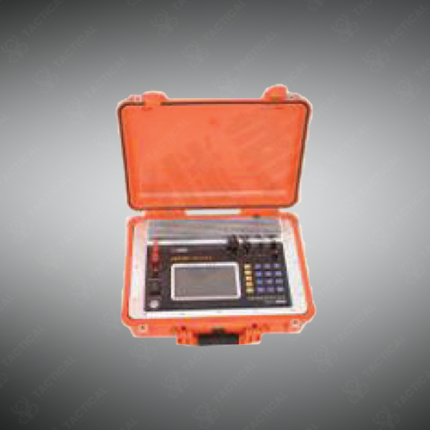
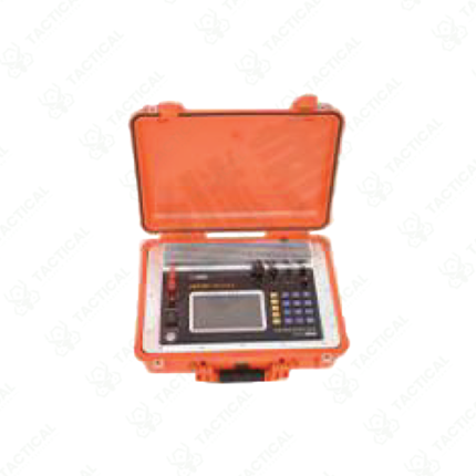
TEM Equipment
TEM equipment refers to time-domain electromagnetic instruments and systems that measure subsurface electrical conductivity and map geological structures through application of electromagnetic pulses and measurement of resulting field decay. These geophysical survey tools enable non-invasive subsurface characterization supporting mineral exploration, groundwater assessment, and environmental contamination mapping without requiring drilling or excavation.
Equipment configurations span portable handheld transmitter and receiver coil pairs for rapid field surveys, to larger fixed installations providing higher sensitivity and deeper penetration for extended subsurface investigation. Transmitter units generate brief electromagnetic pulses into the ground through coil-based induction. Receiver coils measure the electromagnetic field decay patterns following pulse transmission, with decay characteristics revealing subsurface conductivity structure and material composition.
Data processing inverts measured electromagnetic responses into conductivity depth profiles at each measurement station. Conductivity variations identify probable mineral types, water saturation levels, and geological layer boundaries. Three-dimensional inversion of gridded survey data generates volumetric conductivity models revealing subsurface structure and spatial distribution of conductive anomalies.
In Pakistan, mineral exploration companies conduct TEM surveys in Balochistan identifying mineral deposits. Groundwater exploration organizations map aquifer extent and quality. Environmental agencies characterize contamination plume extent. Geotechnical investigation programs assess subsurface conditions for engineering design.
Tactical Supply Pakistan supplies TEM equipment for mineral exploration, groundwater assessment, environmental characterization, and geotechnical investigation applications across Pakistan.
Showing the single result