RTK - Real Time Kinematic
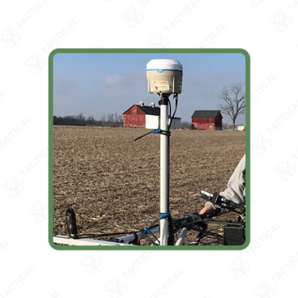
RTK, or Real Time Kinematic positioning, corrects standard GPS readings to centimetre-level accuracy. A normal GPS receiver only manages a few metres of accuracy. A base station sits at a fixed, known location. It compares its GPS reading against its true position. It then sends a correction signal to a rover unit over radio link or cellular network. The rover applies this correction in real time. This gives a location accurate to 1-2cm horizontally and 2-4cm vertically under good signal conditions.
Base and rover units communicate over UHF radio. This typically covers 5 to 10 kilometres in open terrain. Where cellular coverage exists, units can also connect through NTRIP over a mobile data connection. Update rates run up to 10-20 times per second. This is fast enough for real-time stakeout work or tracking a moving vehicle’s path. Battery packs on rover units last 6 to 10 hours per charge. That’s enough for a full day of fieldwork.
Handheld rover controllers show live position data on screen. Many come with mapping software for point collection, stakeout, or boundary marking. Antenna height and offset settings account for the pole length used to hold the receiver above the ground point. Some systems also correct for tilt. This lets the operator hold the pole at a slight angle without losing accuracy.
Land surveyors use RTK systems for boundary marking and construction layout. Centimetre accuracy replaces hours of traditional total station work. Agriculture operations use RTK for precise planting and irrigation lines. Security and infrastructure teams use RTK too, mapping fence lines and buried utility points with exact coordinates.
Tactical Supply Pakistan supplies RTK systems to survey firms, agriculture operations, and infrastructure teams across Pakistan. Base and rover sets are available separately, with radio and NTRIP correction options depending on site conditions.
Showing the single result