RTK GPS (Real-Time Kinematic GPS)
RTK GPS improves standard satellite positioning by adding a correction layer between a fixed base station and a moving rover. Normal GPS alone drifts by 2 to 5 metres due to atmospheric interference and satellite signal delay. RTK removes most of that error. A base station calculates its own position error against a known survey point. It then broadcasts a fix to the rover, cutting the margin down to roughly 1cm horizontally and 2cm vertically.
Two correction methods exist. UHF radio transmits directly from base to rover, working well in open rural areas up to 8-10 kilometres away. NTRIP sends correction data over a mobile internet connection instead, useful in urban zones with cellular coverage but limited radio line-of-sight. Some rovers switch between both methods depending on signal availability during a single job.
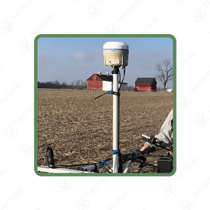
Fix updates arrive at 10 to 20 times per second. This keeps the rover’s screen showing near-instant position changes rather than a lagging readout. A 2-metre antenna pole typically holds the rover unit, with tilt compensation built into newer models so slight pole angles don’t throw off the reading. Battery runtime on most rovers covers 6 to 10 hours of continuous fieldwork.
Survey crews use RTK GPS for property boundary marking and construction stakeout, cutting a job down from hours to minutes compared to older total station methods. Farms use RTK for auto-steer tractor guidance, keeping planting rows straight across large acreage. Utility and telecom companies also use RTK GPS to record exact coordinates for buried cable and pipe routes during installation.
Tactical Supply Pakistan supplies RTK GPS systems to survey firms, agricultural operations, and utility contractors across Pakistan. Kits include base and rover units, with radio or NTRIP correction setup based on each site’s needs.
Showing the single result