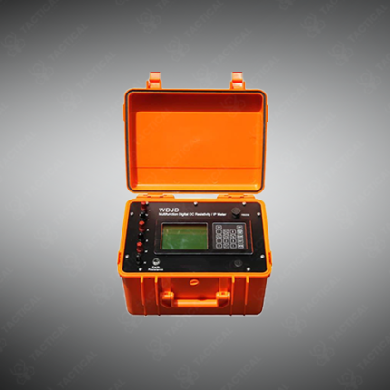
RESISTIVITY INDUCED POLARIZATION
The Resistivity Induced Polarization system maps subsurface layers by injecting current into the ground through electrodes and measuring the voltage response. Resistivity readings show how easily current passes through soil and rock layers. Induced polarization readings capture the delayed voltage decay linked to mineral content. Together, these two measurements build a detailed picture of what lies beneath the survey area. Additionally, the system stores each reading automatically, so field teams review data without manual note-taking.
Groundwater exploration teams in Pakistan use this system to locate aquifers before drilling, reducing the risk of a dry well. Similarly, mining companies rely on induced polarization data to identify sulfide mineral deposits ahead of full-scale exploration. Geotechnical engineers also use the equipment to check soil conditions before building foundations or dams. Furthermore, environmental consultants apply the method to map contamination plumes in soil and groundwater.
A cable with electrode takeouts connects to the main unit, so operators run a full survey line without repositioning at each point. As a result, one setup covers a longer stretch of ground in less time. The control unit runs on a rechargeable battery or vehicle power, which supports work in remote field locations. Consequently, teams complete surveys away from any fixed electricity source.
Tactical Supply Pakistan supplies this system to survey firms, mining companies, and research institutions across the country. In contrast to single-method resistivity surveys, combining both readings improves target identification accuracy. Finally, the rugged case protects the equipment during transport to remote or rough terrain.
Showing the single result