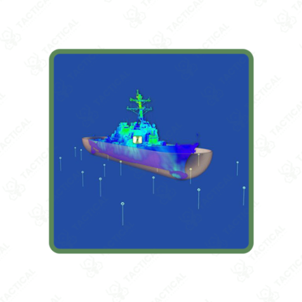
Mobile Magnetic Survey System
A Mobile Magnetic Survey System mounts magnetometer sensors and data acquisition equipment on vehicle platforms, enabling rapid magnetic field measurement across large survey areas at significantly faster coverage rates than handheld or backpack-based foot traverse methods can achieve. Mineral exploration companies and infrastructure mapping teams select vehicle-mounted survey configurations because the increased survey speed directly reduces field time and labor costs for projects covering extensive geographic areas. Therefore, vehicle mounting becomes the preferred platform choice whenever survey area size and accessible terrain favor speed over the finer resolution that slower foot-based methods might achieve.
The magnetometer sensor mounts on a boom or trailer extension positioned away from the vehicle body, physically separating the sensitive sensor element from magnetic interference generated by the vehicle’s engine, electrical system, and metal chassis components. Furthermore, sensor boom length typically ranges from 2 to 5 meters, balancing adequate interference separation against the practical constraints of vehicle maneuverability and road clearance during survey operations.
GPS-synchronized data logging records magnetic field readings against precise vehicle position throughout the survey, with sampling rates between 10Hz and 100Hz capturing detailed field variations along each survey transect line. Consequently, survey speed directly affects spatial sampling density, requiring survey planners to balance vehicle travel speed against the spatial resolution required to detect target-sized magnetic anomalies reliably.
Base station reference magnetometers deployed at a fixed location during survey operations record temporal magnetic field variations caused by solar activity, allowing post-processing software to remove these external influences from the mobile survey data. Additionally, real-time data display within the survey vehicle allows the operator to monitor data quality and coverage progress throughout the survey, identifying any equipment issues immediately rather than discovering problems during later office processing.
Terrain accessibility limits vehicle-mounted survey applications to areas with adequate road or track access, with off-road capable vehicle platforms extending coverage into more challenging terrain than standard road vehicles can traverse.
In Pakistan, mobile magnetic survey systems support mineral exploration across Balochistan and Khyber Pakhtunkhwa, pipeline route assessment, and buried infrastructure mapping programs. Tactical Supply Pakistan supplies Mobile Magnetic Survey Systems for geological survey and infrastructure mapping procurement across Pakistan.
Showing the single result