Groundwater Exploration & Detection
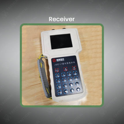
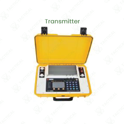
Groundwater exploration and detection is a geophysical survey process that identifies subsurface water resources and characterizes aquifer properties through non-invasive measurement of subsurface electrical properties correlated with water saturation and mineral content. These systematic methodologies enable rapid assessment of groundwater potential in water-scarce regions supporting agricultural irrigation development, municipal water supply planning, and rural water resource assessment.
Detection methodologies employ ground penetrating radar transmitting high-frequency pulses detecting subsurface reflections from water-bearing formations, electrical resistivity measurement revealing conductivity variations correlated with water saturation, and time-domain electromagnetics analyzing field decay patterns indicating subsurface conductivity structure. Water-saturated soil exhibits lower electrical resistance than dry materials, creating characteristic conductivity anomalies identifying probable aquifer locations.
Survey procedures involve systematic grid-based measurements across exploration areas with instruments recording subsurface electrical properties at multiple depths. Data processing inverts measured parameters into one-dimensional conductivity profiles revealing water-bearing layer locations and thickness. Three-dimensional inversion of gridded survey data generates subsurface models showing spatial distribution of conductive anomalies correlating with groundwater resources.
Drilling confirmation following survey predictions verifies geophysical interpretations and determines actual water quality and quantity. Positive correlation between survey predictions and drilling results validates methodology enabling increased confidence in future surveys in similar geological settings.
Aquifer characterization determines water yield potential and storage capacity supporting development feasibility assessment. Water quality evaluation identifies salinity and contamination risks requiring treatment before use.
In Pakistan, water resource agencies conduct groundwater exploration assessing potential in Balochistan and Sindh arid regions. Agricultural organizations employ surveys supporting irrigation development. Municipal utilities map groundwater resources for supply planning. Development organizations assess rural water availability.
Tactical Supply Pakistan supplies groundwater exploration and detection services for water resource, agricultural, and municipal applications across Pakistan.
Showing the single result