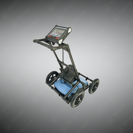
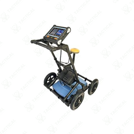
GPR for Underground Utility Pipe line Locating
Ground-penetrating radar for underground utility pipeline locating is a non-destructive survey method that identifies the position, depth, and routing of buried pipes, conduits, and cable infrastructure beneath road surfaces, pavements, and open ground without requiring excavation. The GPR antenna transmits high-frequency radar pulses into the ground and captures the reflected signals returned when the pulse encounters the boundary between the surrounding soil and a buried pipe or conduit. Metallic and non-metallic pipes are both detectable, giving GPR a significant operational advantage over electromagnetic pipe locators that rely on conductive material or tracer wire to generate a signal.
Antenna frequencies used for utility pipeline surveys typically range from 200 MHz to 900 MHz, balancing depth penetration against resolution. At 400 MHz, standard pipe detection depths reach 1.5 to 3 meters in average soil conditions, with depth performance reducing in high-clay or saline ground due to increased signal attenuation. Survey data is displayed as a radargram cross-section on the GPR unit’s integrated screen, with buried pipes appearing as characteristic hyperbolic reflections that operators use to mark surface positions and calculate burial depths.
In Pakistan, GPR utility locating is critical for urban infrastructure projects in Lahore, Karachi, Islamabad, and other cities where undocumented or poorly mapped utility networks of water mains, gas lines, electrical conduits, and telecommunications cables create excavation hazards. Road rehabilitation projects, new building foundation works, and underground construction activities all require accurate utility mapping before breaking ground to avoid service disruptions and safety incidents.
Tactical Supply Pakistan supplies GPR systems configured for utility pipeline locating for civil engineering firms, utility companies, and municipal infrastructure contractors operating across Pakistan.
Showing the single result