High Power Time-Frequency Induced Polarization Instrument
High Power Time-Frequency Induced Polarization Instrument is a hybrid IP surveying system combining time-domain and frequency-domain techniques for high-confidence subsurface exploration.
Key Features:
✔️ Dual-mode IP system (time-domain + frequency-domain)
✔️ High-power output: 1000V / 20A for deep exploration
✔️ Multiple low-frequency step wave groups for enhanced resolution
✔️ High signal-to-noise ratio in complex geological conditions
✔️ Integrated GPS for accurate survey positioning
✔️ Multi-channel receiver supporting large electrode arrays
✔️ Real-time data visualization and mode switching
✔️ Rugged, water-resistant field housing
✔️ Suitable for mineral, groundwater, and engineering surveys
High Power Time-Frequency Induced Polarization Instrument
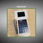
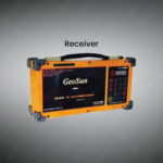
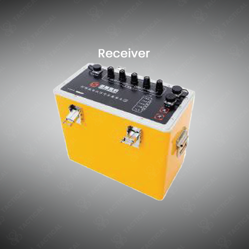
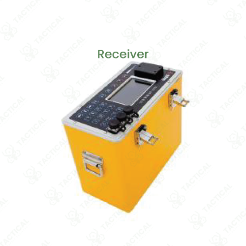
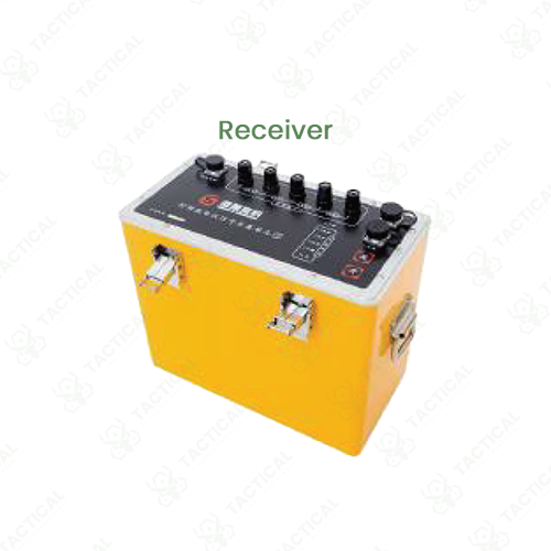
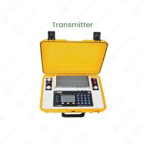
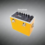
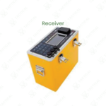
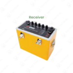
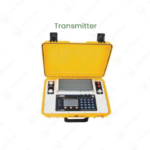
The High Power Time-Frequency Induced Polarization Instrument is a hybrid geophysical system. It combines dual-frequency domain and conventional time-domain induced polarization methods. The transmitter delivers a high-power output of 1000 volts and 20 amperes. For frequency-domain work, it uses four specific low-frequency step wave groups, including 1Hz/1/13Hz and 8Hz/8/13Hz. An integrated GPS provides accurate survey station locations. The receiver unit supports multiple expansion channels for data collection across large arrays. This design maintains a high signal-to-noise ratio while ensuring field-portable operation.
Its build incorporates a main transmitter, a multi-channel receiver, and separate battery packs. All units are housed in reinforced, water-resistant transit cases. The system uses industrial-grade connectors for electrode cables to ensure reliable contact. The receiver’s software allows operators to switch between time-domain and frequency-domain survey modes. Real-time data visualization helps field crews make immediate adjustments to their survey parameters.
The High Power Time-Frequency Induced Polarization Instrument serves advanced mineral and groundwater exploration. Geologists use it for detailed mapping of sulfide ore bodies and graphite deposits. The dual-method capability allows cross-verification of data for more confident target identification. In hydrogeology, it characterizes aquifer geometry and estimates water yield. Engineering firms apply it to map bedrock and detect voids for infrastructure projects. Its multi-channel receiver enables efficient, large-area surveys with high data density.
Tactical Supply Pakistan provides this versatile instrument for comprehensive subsurface investigation. Our clients value the system’s dual-method data acquisition for reducing geological interpretation risks
What is the main benefit of the instrument’s dual-method capability?
It collects two independent data sets in one survey. This allows for direct comparison between frequency and time-domain results. The comparison increases confidence in identifying subsurface targets and reduces interpretation errors.
- Fast Shipping: We partner with reliable delivery services to make sure your order gets to you quickly. We work hard to ensure every package arrives safely and on time.
- Quick Processing: Your order is processed and prepared for shipping within 24 to 48 hours. This allows us to send it out to you as fast as possible after your payment is confirmed.
- Tracking: Once your order is on its way, we will provide you with a tracking number. You can use this number to easily follow your package's journey and know exactly when it will arrive.
- Nationwide Delivery: We offer delivery to all locations across Pakistan, including major cities and remote areas. No matter where you are, we can get your order to you.
At Tactical Supply Pakistan, our relationship with you doesn't end after a sale. We are dedicated to making the long-term performance and reliability of our high-quality tactical and supplied equipment. Our commitment is to provide you with seamless support and peace of mind.
- Free Installation: We'll set up your new equipment for you, so it's ready to go. You can focus on your work while our engineers handle as per the guidelines for manufacturer.
- Maintenance: We offer quick replacements where necessary, to keep your gear in top condition. Our team will make sure your equipment is always ready when you need it.
- Customer Support: We're always here to help. Our support team is available to answer your questions and assist you long after you've made a purchase.
- Planned Preventative Maintenance: Our service includes preventative maintenance to keep your equipment in peak condition and prevent future issues.
HAVE QUESTIONS?
Fill out the form, and our team will respond promptly to assist with your product inquiries or order support.