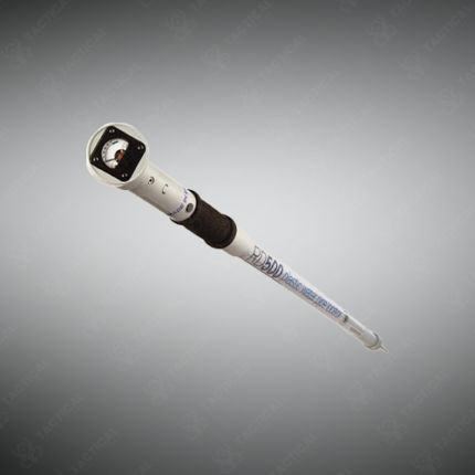
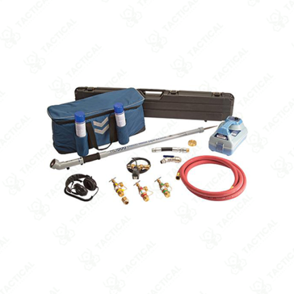
Water Line Locator
The Water Line Locator traces the path of buried metal or tracer-wire-equipped pipes using an electromagnetic signal transmitted along the line. A transmitter connects to an access point, valve, or tracer wire and sends a signal down the pipe. A handheld receiver detects that signal from above ground. The receiver display shows signal strength and direction, so the operator walks the exact pipe route without guesswork. Additionally, a depth reading estimates how far below the surface the pipe runs at each point.
Construction crews in Pakistan use this locator to map existing water lines before digging foundations or trenches. Similarly, utility companies rely on the device to verify pipe records against actual field conditions during maintenance work. Landscaping contractors also use the tool to avoid damaging buried lines while installing new plantings or hardscaping. Furthermore, municipal survey teams apply the equipment to update outdated utility maps with accurate pipe positions.
The transmitter connects directly to metal pipes or induces a signal onto nearby lines when direct connection isn’t possible. As a result, operators trace both accessible and hard-to-reach pipe sections. Marking flags or spray paint mark the route as the operator walks, guiding excavation crews. Consequently, digging teams avoid pipe strikes during the actual excavation.
Tactical Supply Pakistan supplies this locator to construction firms, utility companies, and municipal survey departments nationwide. In contrast to old paper records, live signal tracing confirms the pipe’s actual current position. Finally, the lightweight receiver design allows one operator to complete a full site survey.
Showing the single result