VNIR Hyperspectral Imaging
VNIR Hyperspectral Imaging combines a sensor and processing software to map a scene across the visible and near-infrared bands. The system scans line by line or captures a full frame at once. It then stitches the data into a cube containing spatial and spectral information. Analysis software processes this cube to classify materials, flag anomalies, or compare a sample against a reference library. Additionally, results export as standard image files or raw data for further processing in other software.
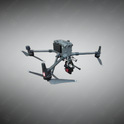
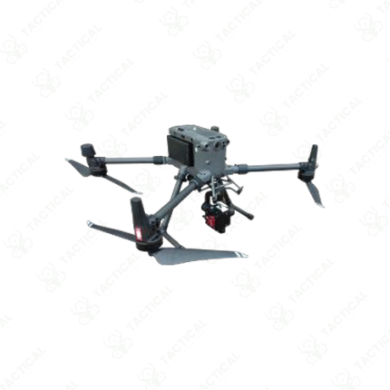
Water quality teams in Pakistan use this imaging method to detect algae blooms and pollutant plumes across lakes and rivers. Similarly, mineral exploration companies apply the technique to map surface mineral composition across large survey areas from aerial platforms. Manufacturing quality control lines also use VNIR imaging to sort products by material composition on a moving conveyor. Furthermore, pharmaceutical companies apply the method to verify coating consistency during production runs.
The processing software runs classification algorithms that separate materials based on subtle spectral differences invisible to standard cameras. As a result, operators identify contamination or defects that visual inspection alone would miss. A calibration routine corrects for lighting variation between different scan sessions. Consequently, results stay comparable across surveys taken at different times or locations.
Tactical Supply Pakistan supplies this imaging system to environmental agencies, mining companies, and manufacturing plants nationwide. In contrast to single-point spectroscopy, imaging captures spatial context alongside spectral data across an entire scene. Finally, the software supports batch processing for large survey datasets collected over multiple sessions.
Showing the single result