The Best MAGNETOMETER KIT
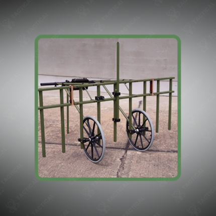
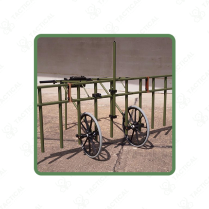
The best magnetometer kit is a complete geophysical survey system combining a sensitive magnetic field measurement instrument with portable data logging, GPS integration, survey accessories, and processing software optimized for field deployment and professional accuracy. These comprehensive kits provide organizations with turnkey capability for archaeological survey, mineral exploration, environmental assessment, and utility mapping without requiring users to source and integrate individual components from multiple vendors.
Magnetometer instruments in premium kits achieve sensitivity specifications below 0.1 nanoTesla on gradiometer configurations, sufficient for detecting subtle magnetic anomalies from buried archaeological features and mineral deposits. Sensor options include fluxgate designs for general-purpose surveying and optically pumped variants for highest sensitivity applications. Dual-sensor gradiometer configurations automatically cancel large-scale geomagnetic field variations, isolating localized anomalies from buried targets of interest.
Kit components include ruggedized carrying cases protecting sensitive instruments during field transport, calibration reference materials ensuring measurement accuracy, GPS receivers enabling spatial coordinate documentation of survey locations, and laptop-compatible software supporting real-time data visualization and post-processing analysis. User interfaces are designed for field operation by non-specialist personnel, enabling straightforward data collection without requiring advanced geophysical expertise.
Data processing software generates anomaly maps through contour visualization, three-dimensional surface displays, and automated anomaly detection highlighting suspect targets. Export compatibility with CAD and GIS software enables integration with design and planning systems for professional documentation and reporting.
In Pakistan, archaeological teams use best magnetometer kits at pre-Islamic and Islamic period sites. Mineral exploration programs deploy them in Balochistan and northern territories. Environmental teams map contamination around industrial sites. Military units conduct subsurface assessment identifying buried infrastructure.
Tactical Supply Pakistan supplies the best magnetometer kits for archaeology, mineral exploration, environmental, and military geophysical survey applications across Pakistan.
Showing the single result