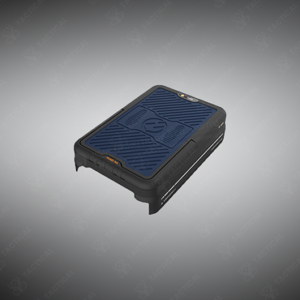
Precision Laser Scanning System
A precision laser scanning system is an advanced surveying and measurement instrument that uses focused laser beams and high-speed scanning mechanisms to capture precise three-dimensional coordinates of surfaces, structures, and terrain features across extended ranges and complex geometries. These systems produce dense point clouds containing millions of individual coordinate measurements per scan, enabling detailed digital reconstruction of physical environments for engineering design, quality control, forensic documentation, and infrastructure assessment applications.
Laser scanning technologies deployed across precision systems include time-of-flight measurement recording the round-trip travel time of laser pulses reflected from target surfaces, triangulation-based systems using structured laser patterns and camera imaging to calculate coordinates, and phase-shift measurement comparing the phase difference between emitted and reflected laser signals. Range capability extends from a few meters on close-range scanning systems to several kilometers on long-range topographic instruments. Accuracy specifications span from sub-millimeter on precision close-range systems to centimeter-level on long-range terrain mapping platforms.
Scan speed across professional laser scanning systems reaches millions of points per second on current generation instruments, enabling rapid large-area coverage without excessive field time. Three-dimensional data output includes point cloud files in industry-standard formats including LAS and E57, mesh surfaces for visualization and measurement, and processed products including orthophotos, elevation models, and cross-section profiles extracted from the raw scan data. Integration with GPS and inertial navigation systems on mobile platforms enables georeferenced scanning without control point establishment at the survey area.
In Pakistan, precision laser scanning systems support structural engineering as-built surveys of bridges and buildings, military facility documentation and threat assessment, forensic scene reconstruction at complex crime scenes, archaeological site recording, and quality control verification in large-scale infrastructure projects requiring dimensional accuracy verification.
Tactical Supply Pakistan supplies precision laser scanning systems for engineering, military, forensic, and infrastructure quality control applications across Pakistan.
Showing the single result