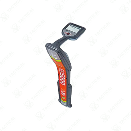
Pipe Locator
Pipe locators are handheld electromagnetic instruments used to detect and trace the underground path of buried metallic pipes without excavation. Field operators carry these devices during pre-dig surveys, utility mapping updates, and maintenance access planning to identify pipe routes and burial depths before ground disturbance begins. Accidental pipe strikes during excavation cause service interruption, hazardous material release, and costly emergency repair work, making pipe locator use a standard requirement on construction and maintenance sites across Pakistan.
The locator system works in two operational modes. Active mode uses a separate transmitter unit to apply a detectable electromagnetic signal onto the target pipe through direct clamp connection at an exposed access point or inductive coupling from a surface-placed transmitter coil. The handheld receiver detects the field radiating upward from the energized pipe as the operator walks the suspected route above ground. Additionally, passive mode allows the receiver to detect electromagnetic emissions from live electrical cables and metallic pipes without any transmitter, providing rapid preliminary survey data across sites where transmitter access is unavailable.
Frequency options on multi-frequency locator models cover 50 Hz power frequency detection, 8 kHz general pipe location, 33 kHz high-frequency mode for shallow or congested utility corridors, and 512 Hz sonde tracking for inserted transmitter location through non-metallic pipe sections. Furthermore, depth measurement on current locator models uses a calculated estimate based on signal geometry, displaying depth readout in centimeters on the receiver screen with accuracy typically within plus or minus 5% of actual burial depth under favorable low-conductivity soil conditions.
Audio output uses a variable-pitch tone that rises in frequency as signal intensity increases, guiding the operator along the pipe centerline without requiring constant screen observation during the survey walk. Moreover, data logging models capture GPS coordinates, depth readings, and signal strength values at defined intervals, producing datasets for post-survey utility mapping and asset register updates compatible with standard GIS platforms.
Tactical Supply Pakistan supplies pipe locators to water utility authorities, gas distribution companies, municipal engineering departments, construction contractors, and military engineering units requiring reliable underground pipe detection across infrastructure and construction projects throughout Pakistan.
Showing the single result