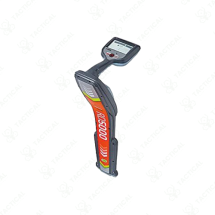
Pipe Location
Pipe location refers to the process of identifying and mapping the underground position, depth, and routing of buried pipelines using non-invasive detection instruments before ground disturbance activities begin. Accurate pipe location prevents accidental strikes on water mains, gas lines, fuel pipelines, and drainage infrastructure during construction, excavation, and utility maintenance operations across Pakistan’s urban and industrial zones where dense underground networks create significant hazard risk.
Electromagnetic pipe location uses a transmitter to apply a specific frequency signal onto the target metallic pipe through direct connection at an exposed access point or through inductive coupling from a surface-placed transmitter coil. A handheld receiver detects the electromagnetic field radiating upward from the energized pipe as the operator walks the survey route above ground. Signal strength peaks directly above the pipe centerline, allowing the operator to mark the surface route with paint or flags as the survey progresses. Additionally, passive electromagnetic detection mode identifies live electrical cables and metallic pipes carrying naturally induced electromagnetic signals without requiring transmitter deployment, providing preliminary location data before active induction equipment is set up at the site.
Detection depth on standard electromagnetic pipe location instruments reaches between 3 and 5 meters for isolated metallic pipe targets under favorable soil conductivity. Depth accuracy runs within plus or minus 10% of actual burial depth under controlled survey conditions. Furthermore, ground-penetrating radar complements electromagnetic methods for non-metallic pipe location, with antenna frequencies between 250 MHz and 900 MHz achieving depth penetration between 0.5 and 3 meters depending on soil moisture content and clay concentration in the survey area.
Survey results document through surface marking, field sketch records, and increasingly through GPS data logging on digital receiver models that capture coordinate and depth readings at defined intervals during the survey walk. Moreover, processed GPS survey data integrates with GIS mapping platforms to update utility asset registers and produce accurate underground utility drawings for site management and future reference.
Tactical Supply Pakistan supplies pipe location instruments and survey equipment to utility maintenance authorities, construction contractors, municipal engineering departments, and military engineering formations requiring accurate underground pipe detection capability across infrastructure and construction projects throughout Pakistan.
Showing the single result