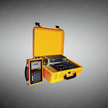
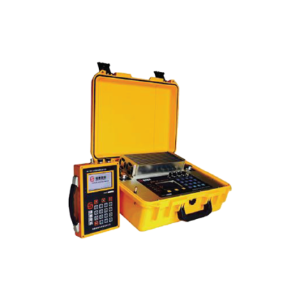
Multifunctional IP Instrument System
Multifunctional IP instrument systems combine induced polarization measurement, resistivity profiling, and spontaneous potential (SP) acquisition in a single integrated field platform — collecting multiple geophysical parameters from a single electrode array deployment without moving equipment between separate measurement setups. These systems serve mineral exploration, groundwater investigation, environmental contamination mapping, and engineering geology applications across ground and borehole survey configurations.
The transmitter unit injects bipolar current waveforms into the ground through current electrodes at programmable output levels from 1W to 10kW depending on the system class and required investigation depth. High-power transmitter-receiver combinations such as the IRIS Syscal Pro and GDD IPR-12 deliver injected currents up to 2.5A and voltages up to 800V — achieving signal-to-noise ratios sufficient for deep exploration surveys to 500 meters and beyond. Receiver units measure primary voltage, secondary IP decay voltage across multiple time gates, phase angle between current and voltage waveforms, and SP potential simultaneously at potential electrode pairs. Furthermore, automatic electrode switching matrices on integrated systems handle up to 96 electrodes internally — executing full 2D resistivity-IP imaging surveys along a profile without manual electrode repositioning between quadrupole configurations.
Time-domain IP acquisition records chargeability decay curves across 20 or more time gates between 1ms and 2,000ms after current switch-off — capturing the full IP decay envelope for spectral analysis and modeling. Frequency-domain acquisition measures phase spectra at multiple frequencies from 0.125Hz to 256Hz — producing spectral IP datasets that differentiate clay, graphite, and metallic sulfide polarization mechanisms from their distinct frequency responses. Additionally, full-waveform recording on advanced systems captures the complete current and voltage time series for post-processing with user-defined stacking and filtering parameters — preserving maximum data quality from noisy field environments.
3D IP survey configurations deploy electrode grids covering large areas — acquiring volumetric chargeability and resistivity datasets for 3D inversion modeling that identifies mineralized zones, aquifer geometries, and contamination plume distributions in three dimensions.
These systems serve Pakistan’s mineral exploration contractors targeting porphyry copper and gold deposits in Balochistan and Reko Diq area, groundwater development programs for Punjab’s agricultural irrigation schemes, environmental site assessment contractors, and university geophysics research departments in Lahore and Karachi requiring integrated multi-parameter subsurface electrical measurement capability.
Tactical Supply Pakistan supplies multifunctional IP instrument systems for mineral exploration, groundwater survey, environmental investigation, and geophysics research procurement across Pakistan.
Showing the single result