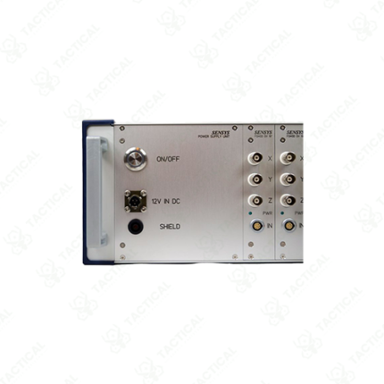
Multi Sensor
Description:
Multi-sensor surveillance systems combine radar, electro-optical, infrared, and RF detection technologies into a single integrated platform — providing security operators with a fused, real-time operational picture of ground, airborne, and maritime threats across a monitored area. These systems eliminate the blind spots and missed detections that result from relying on any single sensor technology alone.
Radar provides the primary detection layer — scanning continuously across the monitored area regardless of lighting, weather, and line-of-sight limitations that degrade optical sensors. 3D surveillance radars classify targets as human, vehicle, or airborne — generating track data with position, heading, and velocity. Detection ranges extend from 500 meters on compact perimeter radar modules to 10 kilometers and beyond on mid-range surveillance radars covering wide border and coastal monitoring areas. Furthermore, radar tracking data cues the EO/IR camera system — slewing the optical sensor automatically to the detected target position without operator input, dramatically reducing the time between detection and visual confirmation.
The EO camera channel delivers high-resolution daylight color imagery at optical zoom levels from 10x to 40x — resolving facial features and vehicle registration plates at extended ranges. The IR channel uses uncooled LWIR microbolometer sensors at 640×512 pixel resolution for 24-hour thermal detection in complete darkness, fog, smoke, and heavy rain conditions that defeat daylight cameras entirely. Additionally, passive RF detection sensors monitor frequency bands from 433MHz to 5.8GHz — identifying drone control links, unauthorized radio transmissions, and cellular device activity within the monitored zone without emitting detectable signals.
Sensor fusion software correlates detections across all sensor types simultaneously. Confirmed multi-sensor tracks present to the operator on a single command display with target classification, track history, and recommended response — reducing operator workload and false alarm rates compared to managing separate sensor displays independently. Integration interfaces include ONVIF, REST API, and NATO STANAG formats for connection to Safe Cities command platforms and military C2 systems.
These systems serve Pakistan Army forward operating base perimeter defense, Pakistan Air Force airfield security, PAEC nuclear facility protection, Karachi Port critical infrastructure monitoring, and Frontier Corps border surveillance positions along Pakistan’s western frontier requiring continuous, all-weather multi-sensor threat detection and tracking capability.
Tactical Supply Pakistan supplies multi-sensor surveillance systems for military perimeter security, border monitoring, and critical infrastructure protection procurement across Pakistan.
Showing the single result