Magnetic Surveys & Tools
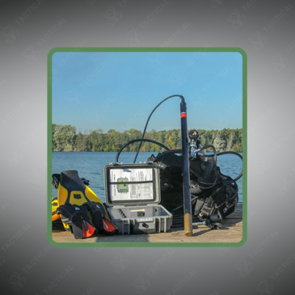
Magnetic Surveys and Tools encompass both the geophysical survey methodology that measures Earth’s magnetic field variations and the complete range of equipment required to conduct these surveys across mineral exploration, ordnance detection, and infrastructure mapping applications. Field survey teams require a coordinated set of instruments because successful magnetic survey work depends on more than just the magnetometer sensor alone. Therefore, equipment selection across sensors, positioning hardware, and data processing tools collectively determines overall survey success and data reliability.
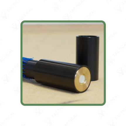
The core sensor instrument typically uses fluxgate, cesium vapor, or potassium vapor magnetometer technology, selected according to required sensitivity for the target application. Furthermore, fluxgate sensors provide 0.1 to 1 nanotesla resolution for general mapping tasks, while vapor magnetometers achieve sub-0.001 nanotesla sensitivity for high-resolution mineral exploration and unexploded ordnance detection work. Consequently, survey planners match sensor sensitivity to the expected anomaly strength before finalizing their equipment selection.
Base station magnetometers deployed at a fixed reference location record temporal magnetic field variations throughout the survey period, providing the diurnal correction data needed during post-processing. Additionally, GPS positioning equipment synchronized with the mobile sensor unit ensures every magnetic reading carries an accurate geographic coordinate, essential for producing spatially correct anomaly maps.
Deployment platforms range from handheld and backpack-mounted configurations for foot traverse work to vehicle-towed, drone-mounted, and fixed-wing aircraft systems for larger area coverage. Moreover, survey planning software defines line spacing, coverage boundaries, and altitude parameters before fieldwork begins, ensuring adequate spatial resolution for detecting the target anomaly size.
Post-processing software tools apply diurnal correction, heading error removal, and gridding algorithms to raw field data, producing total magnetic intensity maps and derivative products that support geological interpretation and target prioritization.
In Pakistan, magnetic surveys and tools support mineral exploration across Balochistan and Khyber Pakhtunkhwa, military UXO clearance operations, and pipeline route assessment programs. Tactical Supply Pakistan supplies Magnetic Surveys and Tools across sensor, positioning, and processing equipment categories for geological and defense procurement across Pakistan.
Showing the single result