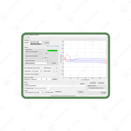
Drone-Mounted Magnetometer System
Description:
A Drone-Mounted Magnetometer System integrates a magnetic field sensor with a UAV platform to collect airborne geophysical survey data across mineral exploration, UXO detection, and infrastructure mapping applications. Geological survey teams and defense ordnance clearance units choose drone-mounted configurations because aerial data collection covers large survey areas far faster than ground-based magnetometer traverses while maintaining the sensitivity required for subsurface anomaly detection. Therefore, drone integration directly reduces survey mobilization time and field labor costs compared to traditional walking survey methods.
The magnetometer sensor mounts on a boom or tether extending below or ahead of the airframe, physically separating the sensitive sensor element from magnetic interference generated by the drone’s motors, electronic speed controllers, and battery pack. Furthermore, sensor types vary by required sensitivity, with fluxgate magnetometers offering 0.1 to 1 nanotesla resolution for general geological mapping, while cesium or potassium vapor sensors achieve sensitivity below 0.001 nanotesla per root hertz for high-resolution mineral exploration and UXO detection tasks. Consequently, survey planners select sensor type based on the expected anomaly strength and required detection depth for their specific target.
GPS-synchronized data logging records magnetic field readings against precise geographic coordinates throughout the flight, with sampling rates between 100Hz and 1,000Hz capturing detailed field variations along each survey line. Additionally, flight altitude typically remains between 10 and 120 meters above ground, with line spacing adjusted between 5 and 100 meters depending on the target anomaly’s expected size and depth.
Battery-powered flight endurance ranges from 30 minutes on multirotor platforms to over 90 minutes on fixed-wing survey drones, allowing coverage of several square kilometers per flight sortie. Moreover, post-flight data processing applies corrections for diurnal variation and heading errors before generating anomaly maps for geological interpretation.
In Pakistan, drone-mounted magnetometer systems support mineral exploration across Balochistan and Khyber Pakhtunkhwa, UXO clearance operations, and pipeline route survey programs. Tactical Supply Pakistan supplies drone-mounted magnetometer systems for geological survey and defense procurement across Pakistan.
Showing the single result