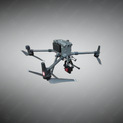
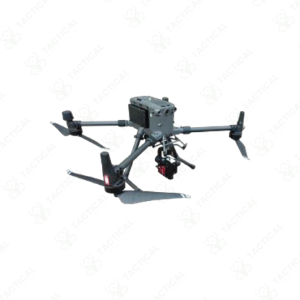
Hyperspectral Imaging Drones
Hyperspectral imaging drones are unmanned aerial systems that integrate a hyperspectral camera payload with a UAV flight platform to conduct airborne spectral surveys capturing material identification and composition data across large ground areas from a controlled aerial position. The combination of UAV mobility and hyperspectral imaging capability produces georeferenced spectral data sets that support material mapping, anomaly detection, with ground sampling distances from centimeters to meters depending on flight altitude and camera specifications.
Flight platforms selected for hyperspectral imaging integration include fixed-wing UAVs for high-endurance area coverage surveys extending to hundreds of hectares per flight and multirotor UAVs for lower-altitude precision surveys requiring finer spatial resolution or operation in confined areas. Payload integration requires vibration isolation mounts, gimbal stabilization for consistent nadir or oblique imaging geometry, and synchronized data triggering between the hyperspectral camera and the UAV’s GPS and IMU systems to produce accurately georeferenced data.
Hyperspectral payloads on UAV platforms cover VNIR wavelengths from 400nm to 1000nm for vegetation health, soil composition, and mineral surface analysis, mineral assemblage mapping, and moisture content profiling across agricultural and geological survey targets.
Tactical Supply Pakistan supplies hyperspectral imaging drone systems for agricultural, mineral exploration, environmental, and defense reconnaissance applications requiring airborne spectral survey capability across Pakistan.
Showing the single result