Shop NDVI/Multispectral Drone Cameras
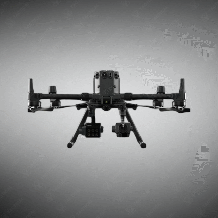
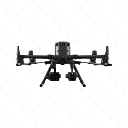
Shop for NDVI/Multispectral Drone Cameras to equip your UAV for precision agriculture, environmental monitoring, and scientific research. These specialized sensors capture data in specific narrow bands of light (including visible and near-infrared) to calculate vegetation indices like NDVI (Normalized Difference Vegetation Index), which reveals plant health, stress, and water needs invisible to the naked eye. When integrated with mapping drones, they create detailed health maps of crops, forests, and ecosystems, enabling data-driven decisions for farmers, foresters, and land managers to optimize yields, reduce input costs, and monitor environmental changes.
-
NDVI Cameras: Dual-band (Red, NIR) sensors specifically for calculating plant health indices.
-
Multispectral Cameras: Capture 3-10+ spectral bands (e.g., Red, Green, Red Edge, NIR) for detailed analysis.
-
Used for crop scouting, irrigation management, disease detection, and yield prediction.
-
Integrate with drones like DJI Matrice or senseFly eBee for automated area mapping.
-
Generate orthomosaics and index maps using photogrammetry software (e.g., Pix4D, DroneDeploy).
-
A critical tool for modern, sustainable precision agriculture and land management.
Map plant health from the sky. Shop NDVI and Multispectral Drone Cameras from Tactical Supply Pakistan for precision agriculture and environmental science.
Showing the single result