Quadcopter Air Quality Drone | Pollution Detector
A Quadcopter Air Quality Drone is an unmanned aerial vehicle equipped with sensors to measure and map atmospheric pollutants in real-time. These drones can carry payloads that detect particulate matter (PM2.5, PM10), gases (CO, NO2, O3, SO2, VOCs), and environmental parameters (temperature, humidity). By flying pre-programmed grids or responding to incidents, they create detailed 3D pollution maps of industrial sites, urban areas, or disaster zones, providing data that is far more granular and immediate than fixed ground stations. This enables environmental agencies, researchers, and industries to monitor emissions, identify pollution sources, and assess public health risks more effectively.
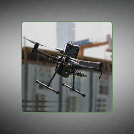
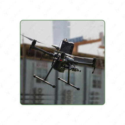
UAV platform equipped with multi-parameter air quality sensor payloads.
Measures pollutants: particulate matter, toxic gases, and greenhouse gases.
Generates real-time, high-resolution 2D and 3D pollution heat maps.
Used for environmental monitoring, industrial compliance, spill response, and urban planning.
Provides data for source attribution, trend analysis, and public reporting.
A transformative tool for modern environmental science and regulation enforcement.
Map pollution from the sky. Quadcopter Air Quality Drones provide real-time, detailed atmospheric data for environmental monitoring and compliance.
Showing the single result