Multispectral - Blue Skies Drones
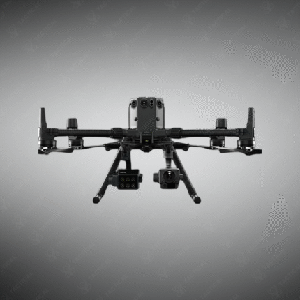
The Multispectral solution by Blue Skies Drones represents a leap in aerial sensing technology, transforming standard drones into powerful tools for precision agriculture, environmental monitoring, and land survey. By capturing data across specific light bands, it reveals critical insights invisible to the naked eye, enabling data-driven decisions for crop health, resource management, and terrain analysis.
Key Features:
– Integrated multispectral sensors capture reflectance in green, red, red-edge, and near-infrared bands.
– Generates accurate NDVI (Normalized Difference Vegetation Index) and other vegetative health maps.
– Seamless compatibility with leading drone platforms, including DJI enterprise systems.
– User-friendly software for flight planning, automated data capture, and detailed analysis.
– Enables variable-rate application, early stress detection, and yield estimation in agriculture.
– Also valuable for forestry, water resource management, and infrastructure inspection.
Partner with Tactical Supply Pakistan to deploy Blue Skies Drones’ multispectral technology, turning aerial data into actionable intelligence for enhanced operational outcomes.
Showing the single result