GPS-Aided Inertial Navigation Systems
GPS-Aided Inertial Navigation Systems (GPS/INS) are hybrid navigation systems that fuse data from a Global Positioning System receiver and an Inertial Measurement Unit (IMU). The INS provides continuous, high-bandwidth data on acceleration and rotation, while GPS provides periodic absolute position updates to correct the INS’s inherent drift. This synergy creates a robust navigation solution that is accurate, smooth, and maintains functionality during short-term GPS signal outages or jamming, which is vital for military and autonomous applications.
Key Points:
– Provides continuous, high-rate positioning, attitude, and velocity data.
– Maintains navigation accuracy during GPS denial (in tunnels, under foliage, or due to jamming).
– The level of integration can be loosely coupled (simple) or tightly coupled (more resilient).
– Used in aircraft, UAVs, guided missiles, armored vehicles, and naval surface/subsurface vessels.
– Enhances the performance of targeting systems, sensor pointing, and platform stabilization.
– The industry standard for assured Positioning, Navigation, and Timing (PNT).
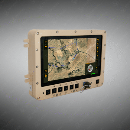
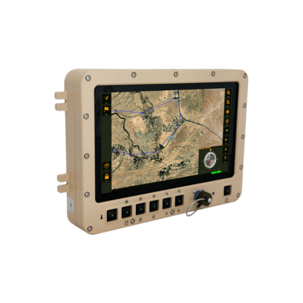
Ensure navigation continuity in contested environments. Source reliable GPS-Aided Inertial Navigation Systems from Tactical Supply Pakistan.
Showing the single result