GPR Explained - What is Ground Penetrating Radar?
Ground Penetrating Radar (GPR) is a non-destructive geophysical method that uses high-frequency radio waves to image the subsurface. It transmits pulses into the ground and records the reflected signals from interfaces between materials of different dielectric properties. GPR is extensively used for locating buried utilities, assessing concrete structures, archaeological surveying, and in security and military applications for detecting underground tunnels, bunkers, and unexploded ordnance (UXO).
Key Points:
– Works by emitting electromagnetic energy and analyzing the reflected signal’s two-way travel time and amplitude.
– Depth and resolution depend on antenna frequency; higher frequency for shallow detail, lower for deeper penetration.
– Creates cross-sectional profiles (radargrams) of the subsurface.
– Critical for counter-terrorism operations to locate hidden tunnels and caches near borders.
– Used in construction for rebar location, slab thickness measurement, and void detection.
– A versatile tool for engineers, geologists, archaeologists, and military engineers.
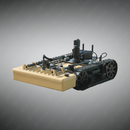
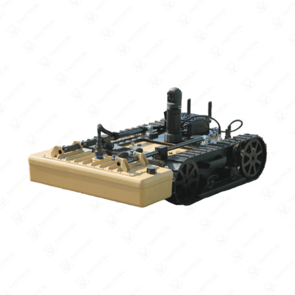
See beneath the surface. Utilize Ground Penetrating Radar (GPR) technology from Tactical Supply Pakistan for utility mapping, construction, and security sweeps.
Showing the single result