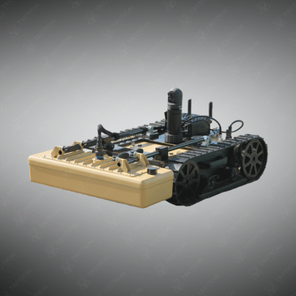
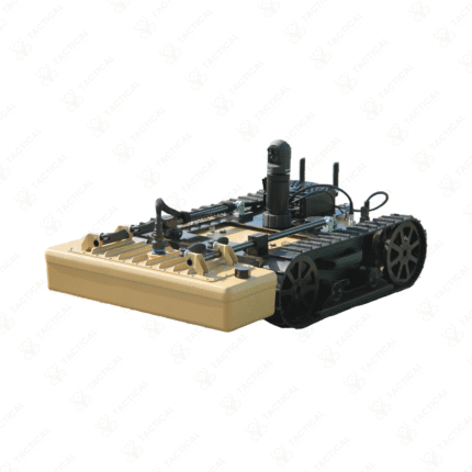
Drone-Mounted Ground Penetrating Radar (GPR)
A Drone-Mounted Ground Penetrating Radar (GPR) system is an aerial geophysical survey tool that uses radar pulses to image the subsurface from an unmanned aerial vehicle. By flying low-altitude grids, the drone can quickly cover large areas to detect buried objects, utilities, voids, or changes in soil composition without ground contact. This technology is transformative for archaeology, mining, utility mapping, and military applications such as detecting underground tunnels, improvised explosive devices (IEDs), or unexploded ordnance (UXO) over wide, inaccessible areas.
Key Points:
– Specialized lightweight GPR antenna and control unit adapted for UAV carriage.
– Creates high-resolution subsurface maps over large areas far faster than traditional ground surveys.
– Used for non-invasive archaeological prospection, geological surveying, and pre-construction site analysis.
– In defense, it aids in counter-mine operations and detecting hidden tunnels near borders.
– Requires precise flight planning and GPS/RTK positioning for accurate data georeferencing.
– Represents the cutting edge of remote, non-destructive subsurface sensing.
Map the unseen from the air. Conduct rapid subsurface surveys with a Drone-Mounted GPR system from Tactical Supply Pakistan.
Showing the single result