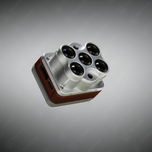
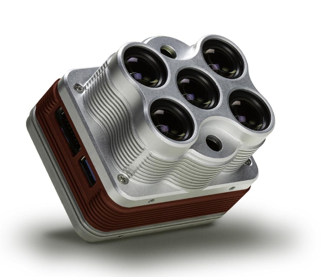
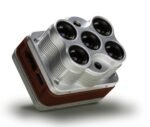
Altum Multispectral + Thermal Drone Camera
Compact 3-in-1 aerial imaging system combining multispectral, thermal, and RGB data capture for advanced environmental and agricultural analysis.
Key Features:
✔️ Integrates five multispectral bands plus a long-wave thermal sensor
✔️ Thermal imaging operates within the 8–14 μm spectral range
✔️ Global shutter captures synchronized data across all six channels
✔️ Lightweight 357 g design for UAV integration
✔️ Measures 8.2 × 6.7 × 6.45 cm for compact deployment
✔️ Delivers 5.2 cm/pixel multispectral GSD at 120 m altitude
✔️ Provides 81 cm/pixel thermal GSD at 120 m altitude
✔️ DLS 2 sensor combines ambient light sensing with integrated GPS
✔️ Supports 4.9–25.2 V DC input for platform compatibility
✔️ USB 3.0 data interface with included 128 GB storage device
Altum Multispectral + Thermal Drone Camera
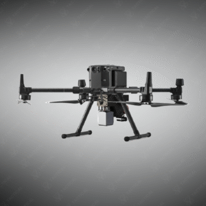
The Altum Multispectral + Thermal Drone Camera is a compact 3-in-1 aerial imaging unit weighing 357 g (406.5 g with DLS 2). It measures 8.2 cm × 6.7 cm × 6.45 cm and houses five narrow spectral band imagers: blue, green, red, red edge, and near-infrared, alongside a long-wave thermal infrared sensor operating at 8–14 μm. The global shutter captures synchronized data across all six channels at one frame per second. Power input ranges from 4.9 V to 25.2 V DC. Storage runs through a USB 3.0 port with a 128 GB external device included.
The package includes the Altum sensor, lens cover, Calibrated Reflectance Panel (CRP), DLS 2 light sensor with integrated GPS, mounting screws, camera cables, and a hard carrying case. Ground sample distance reaches 5.2 cm per pixel (multispectral) and 81 cm per pixel (thermal) at 120 m altitude. The DLS 2 sensor combines GPS positioning with ambient light measurement for consistent NDVI mapping across time-series flights. Field of view spans 48° × 37° for multispectral and 57° × 44° for thermal channels.
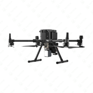
The Altum Multispectral + Thermal Drone Camera fits directly onto DJI PSDK-enabled platforms or operates standalone via external trigger. Agronomists use it for plant health monitoring in vineyards, orchards, and nurseries, identifying irrigation gaps, early disease onset, and canopy density variations. Researchers deploy it in conservation zones for phenotype analysis and water stress mapping. The agricultural drone camera captures all bands simultaneously, removing band-misalignment errors common in single-sensor systems.
Tactical Supply Pakistan stocks this unit for professionals who need verified, field-tested imaging hardware. The brand brings together operators, researchers, and agri-tech teams under one reliable supply chain, making access to high-spec aerial tools straightforward across Pakistan.
Does the Altum work with DJI drones?
Yes. The Altum supports drone multispectral imaging via DJI PSDK-compatible aircraft such as the Matrice series. It also runs standalone with external trigger input, making it usable across multiple drone platforms beyond DJI systems.
- Fast Shipping: We partner with reliable delivery services to make sure your order gets to you quickly. We work hard to ensure every package arrives safely and on time.
- Quick Processing: Your order is processed and prepared for shipping within 24 to 48 hours. This allows us to send it out to you as fast as possible after your payment is confirmed.
- Tracking: Once your order is on its way, we will provide you with a tracking number. You can use this number to easily follow your package's journey and know exactly when it will arrive.
- Nationwide Delivery: We offer delivery to all locations across Pakistan, including major cities and remote areas. No matter where you are, we can get your order to you.
At Tactical Supply Pakistan, our relationship with you doesn't end after a sale. We are dedicated to making the long-term performance and reliability of our high-quality tactical and supplied equipment. Our commitment is to provide you with seamless support and peace of mind.
- Free Installation: We'll set up your new equipment for you, so it's ready to go. You can focus on your work while our engineers handle as per the guidelines for manufacturer.
- Maintenance: We offer quick replacements where necessary, to keep your gear in top condition. Our team will make sure your equipment is always ready when you need it.
- Customer Support: We're always here to help. Our support team is available to answer your questions and assist you long after you've made a purchase.
- Planned Preventative Maintenance: Our service includes preventative maintenance to keep your equipment in peak condition and prevent future issues.
HAVE QUESTIONS?
Fill out the form, and our team will respond promptly to assist with your product inquiries or order support.