Smart Drone Imaging System
A Smart Drone Imaging System integrates advanced sensors (like high-resolution RGB, thermal, multispectral, or LiDAR cameras) with onboard AI processing on an unmanned aerial vehicle. This allows the drone to not just capture raw imagery, but to analyze it in real-time during flight. The AI can identify objects (e.g., damaged infrastructure, specific crop types, heat signatures), track movements, create immediate orthomosaics, and even make decisions (like following a pipeline or focusing on an anomaly). This turns the drone from a data collection platform into an intelligent, flying analysis tool for inspection, mapping, agriculture, and surveillance.
-
Onboard AI processor for real-time image analysis and object detection during flight.
-
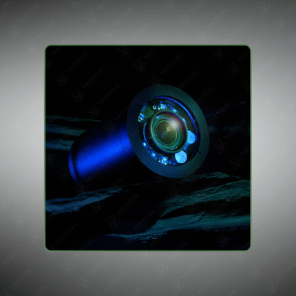
Multi-sensor payloads (EO/IR, multispectral, LiDAR) for comprehensive data capture.
-
Enables autonomous missions where the drone can react to what it “sees”.
-
Used for automated infrastructure inspection, precision agriculture scouting, and rapid disaster assessment.
-
Reduces data bandwidth needs and processing time by sending only insights, not all raw data.
-
Represents the next generation of intelligent, decision-making UAVs.
Fly an intelligent eye. Deploy a Smart Drone Imaging System from Tactical Supply Pakistan for real-time aerial analysis and automated inspection.
Showing the single result