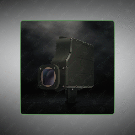
Hyperspectral Remote Sensing
Hyperspectral Remote Sensing is an advanced imaging technology that captures and processes information across hundreds of narrow, contiguous electromagnetic bands for each pixel in an image. This creates a detailed “spectral signature” for every material within the scene, allowing for precise identification of substances—such as specific minerals, vegetation types, camouflage materials, or chemical residues—that are indistinguishable to standard RGB or multispectral cameras. It is a powerful tool for military reconnaissance, environmental monitoring, and precision agriculture.
Key Points:
– Airborne or satellite-based sensors capture data from the visible to near-infrared and shortwave infrared spectrum.
– Enables detection of concealed objects, identification of artificial materials in natural settings, and assessment of crop health.
– Used for mineral exploration, detection of illicit crops, and battlefield surveillance to identify enemy equipment.
– Generates extremely large datasets requiring specialized software for processing and analysis.
– Provides a significant intelligence advantage by revealing what conventional imagery cannot.
– Platforms include manned aircraft, high-altitude UAVs, and satellites.
See beyond the visible spectrum. Implement Hyperspectral Remote Sensing solutions for unmatched detection and analysis with Tactical Supply Pakistan.
Showing the single result