GPS-Aided Inertial Navigation Systems (INS)
GPS-Aided Inertial Navigation Systems (INS) represent the cornerstone of modern precision navigation for defense platforms. By combining the long-term stability of satellite signals with the short-term accuracy and autonomy of inertial sensors, they deliver a continuous, reliable stream of position, velocity, and attitude data. This capability is non-negotiable for flight control of unmanned systems, weapon guidance, artillery pointing, and situational awareness in environments where GPS signals may be unreliable or actively denied by an adversary.
Key Points:
– Tightly Coupled: Deep integration offers superior performance during GPS interference.
– Embedded Filtering: Advanced Kalman filters optimally blend GPS and inertial data.
– Military Standards: Designed to meet rigorous environmental and performance specs (MIL-STD).
– Outputs: Provides precise roll, pitch, yaw, latitude, longitude, altitude, and velocities.
– Applications: Essential for ISR platforms, autonomous vehicles, soldier systems, and indirect fire.
– A key enabling technology for network-centric warfare and platform autonomy.
Navigate with confidence, regardless of the environment. Equip your platforms with battle-proven GPS/INS solutions from Tactical Supply Pakistan.
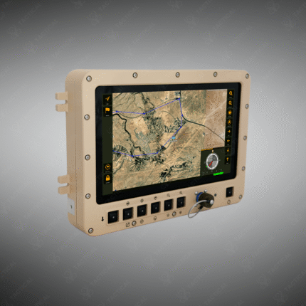
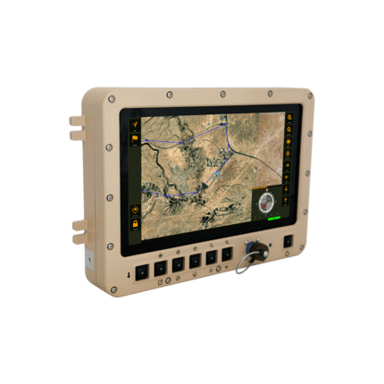
Showing the single result